Northern Ireland weather: Many roads closed by snow and ice today - Met Office Yellow Warning continues until tomorrow
and live on Freeview channel 276
And the Met Office Yellow Warning for snow and Ice across Northern Ireland remains in place until 6am tomorrow, Friday.
On Thursday the PSNI issued warnings about treacherous conditions in the Mournes, Kilkeel, Larne, Enniskillen and South Armagh.
Advertisement
Hide AdAdvertisement
Hide AdMotorists were advised to avoid the vicinity of the Moyad Road in Kilkeel which was impassable due to the snow and ice.
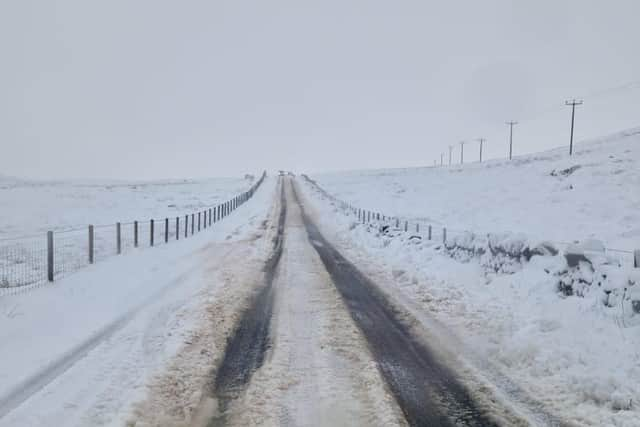

Drivers were advised to avoid the road between the Spells and Hilltown areas in the Mourne area.
Police also advised avoiding the Shanes Hill Road area in Kilwaughter, near Larne which was "impassable due to hazardous driving conditions" and had seen a collision.
The PSNI warned that many roads in the area of the Newry Road outside of Newtownhamilton were also treacherous and impassable.
Advertisement
Hide AdAdvertisement
Hide Ad"Please only travel if your journey is absolutely necessary," police said. "We are already dealing with a number of Road Traffic Collisions in the area."
The Met Office said that the most snow that fell at recording stations was 2cm at Glenanne in south Armagh and 4cm at Lough Fea in Cookstown.
Killowen in Co Down was found to have had the most rain, on Thursday with 33.6mm from 2am until the afternoon.
The lowest overnight temperature into Thursday was -1.4C at Altnahinch in Antrim, with the highest being 3.9C at Killowen.
Advertisement
Hide AdAdvertisement
Hide Ad"Looking forward, there is a snow and ice warning in force for the whole of Northern Ireland until 6am on Friday morning," a Met Office spokesman said.
"The snow risk will become more confined to higher ground as we go through [Thursday] evening and overnight, and will be replaced by rain and drizzle through Friday."
On Thursday morning the forecaster said the area of rain, sleet and snow would move north across Northern Ireland throughout the day.
Accumulating snow was expected to be mainly over higher ground above 150 metres, whilst at lower levels many places would see little if any snow, it said.
"Above around 150 metres, including the Glenshane Pass and Antrim Hills, 5-10 cm of snow is likely to fall with a chance of 15 cm falling in a few places.”
There were no reports of any closed schools.