NI weather: Met Office once again forecasts snow as temperatures drop
and live on Freeview channel 276
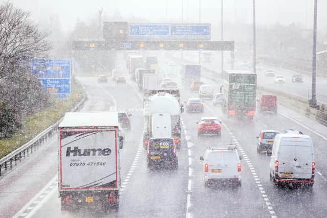
The meteorologists say that today will have ‘bright or sunny intervals and scattered showers, some of these heavy and falling as snow on the hills’.
So snow looks set to return to some areas today.
They add: “Best of the drier conditions in the east. Colder than of late. Maximum temperature 7 °C.”
Advertisement
Hide AdAdvertisement
Hide AdAnd tonight will be “largely cloudy with showers continuing, these heavy at times and most frequent in the west”.
“Drier with a few clearer spells in the east with a patchy frost possible,” adds the Met Office.
Tonight there will be a minimum temperature of 1 °C.
Tomorrow, Friday 23 February, it will be “dry for most with bright or sunny spells” but “the odd shower is possible mainly in the west”.
However, the Met Office ass that “frost and icy patches under clear spells overnight” and a maximum temperature of 7 °C.
Advertisement
Hide AdAdvertisement
Hide AdThe outlook for Saturday to Monday is similarly wintry as forecasters say it is “remaining rather chilly with the odd shower on Saturday, otherwise dry with patchy cloud”.
"Mainly dry and bright on Sunday,” they add. “Sunny spells and the odd shower Monday”.

Met Office spokesman Grahame Madge added that “there isn’t a signal for impactful snow in the forecast” for Northern Ireland, and “we may see some wintry showers over the very highest ground, but these are more likely to be hail rather than snow”.
He added: “It is true that the UK’s temperature have temporarily turned more towards average, but this doesn’t indicate an increase in wintriness.
"The forecast is for a return to more Atlantic-dominated conditions with wind and rain”.